Saguaro National Park is truly a desert wonderland. It’s full of a number of fantastic hikes, many of which are pretty easy to do and don’t require significant elevation change. One of these popular hikes is the Cactus Forest Trail which runs right through the heart of Saguaro National Park in the East District and by Lime Falls. In this review, I’ll tell you everything you need to know about the hike.
Related: West Saguaro National Park vs East Saguaro National Park
Tip: Use WalletFlo for all your credit card needs. It’s free and will help you optimize your rewards and savings!
Table of Contents
Cactus Forest Trail Overview
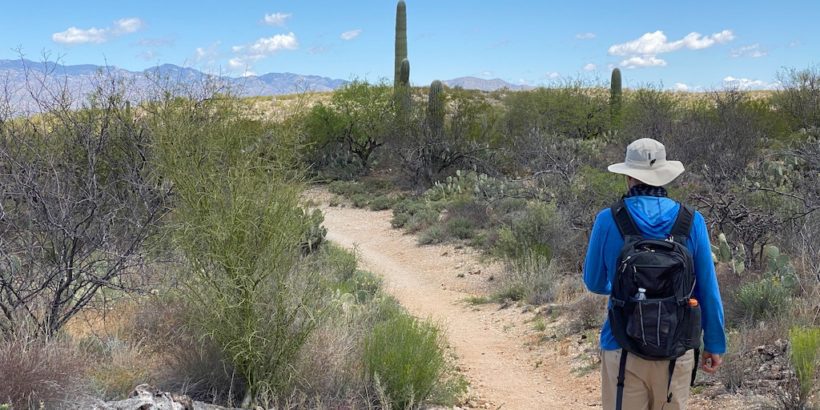
The Cactus Forest Trail is a long 10-mile hike that can be broken down into smaller segments, since there are essentially four starting points for the trailheads.
It’s a perfect choice for someone looking for an easy to moderate hike with pretty minimal elevation gain and close encounters with large saguaro cactuses along with fantastic views of the surrounding mountains and desert terrain.
- Distance: 10 miles
- Elevation Gain: 511 feet
- Route Type: Out and back
- Pets: No
- Difficulty: Moderate (due to distance)
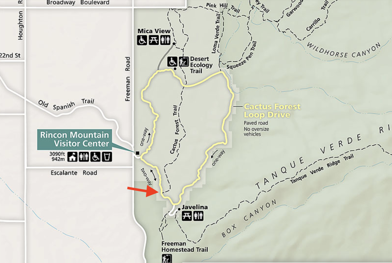
For this hike, we set out From the South Cactus Forest Trailhead and headed north while taking the spur trail to Lime Falls. You can see where the trailhead is located below.
In total, our route came out to 3.8 miles. Personally, I think this is a great option because the spur to Lime Falls switches up the terrain a little bit making it slightly more strenuous and the hike can be done in a couple of hours, which is great when you are hiking on warmer days.
If you are interested in checking out the virtual hike which shows about a third of the hike and what to expect, be sure to check it out below:
Getting to the trail head
As mentioned above, there are four separate trailheads that you can choose from.
Two of the trail heads are located right on Cactus Loop Drive, so if you are headed to the inside of the park, those are your likely starting points. The other two trailheads are on the edges of the park.
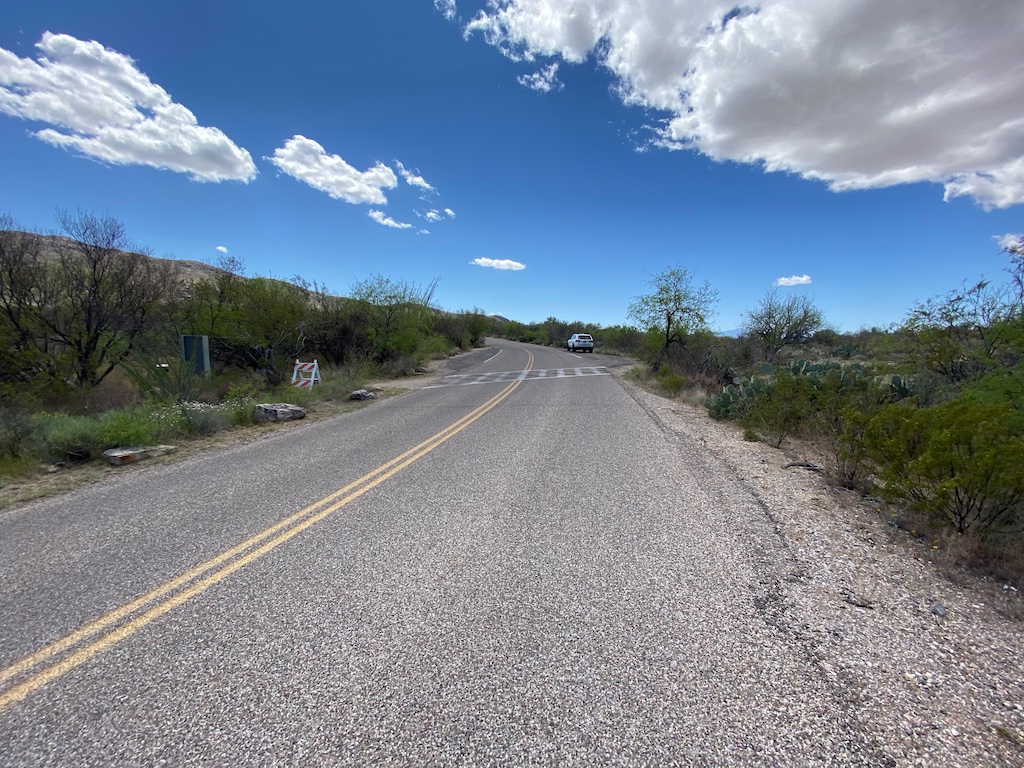
We simply entered the park’s main entrance and then took a right, heading south on Cactus Loop Drive, which is the two-way section of the scenic loop.
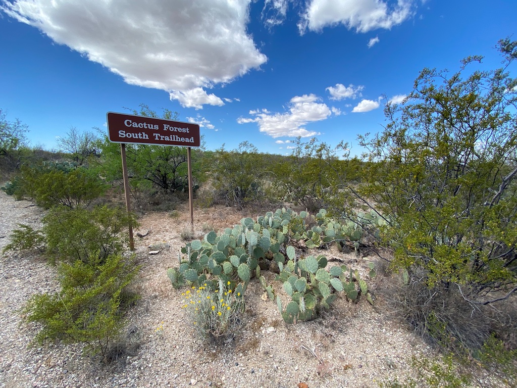
You will see the sign for the trail on the right side of the road and there will also be some parking spaces available along the shoulder of the road. You will then need to cross the crosswalk and you will see the beginning of the trailhead.
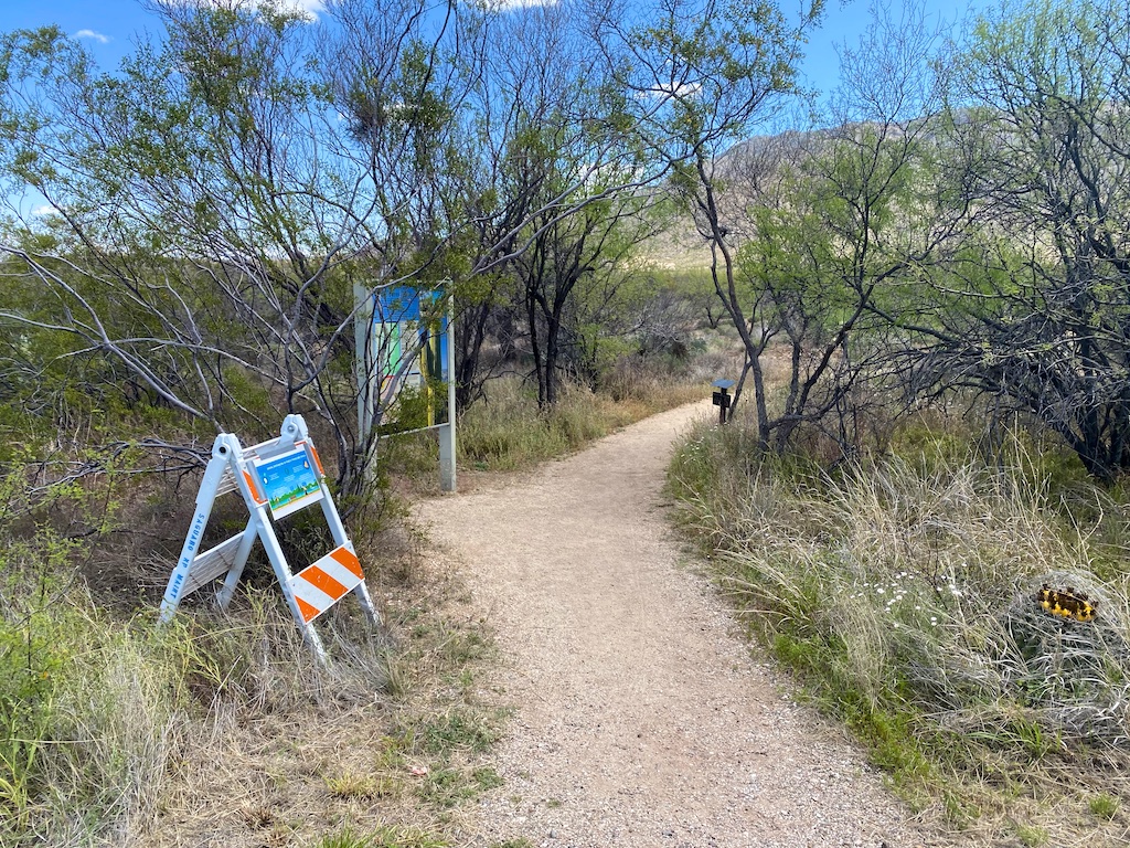
Trail description
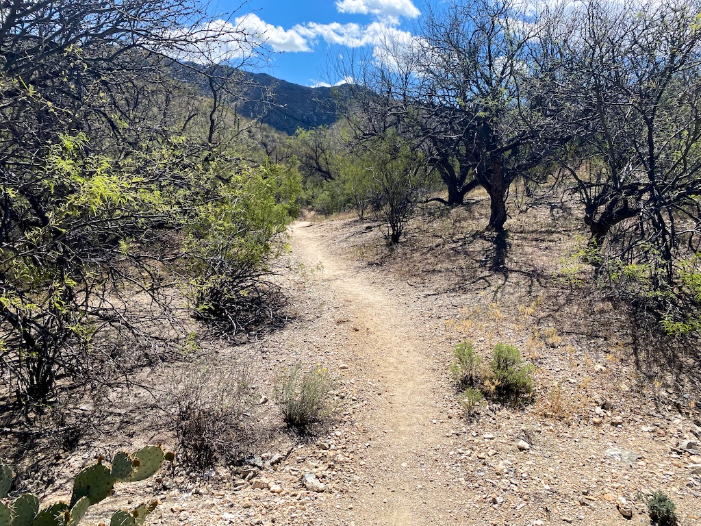
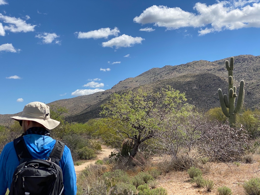
Beginning from the south trailhead, the grade is very mild and mostly descends from the trailhead.
(If you are beginning from the north, you will be headed uphill during most of the first part of the hike though the grade is very gradual.)
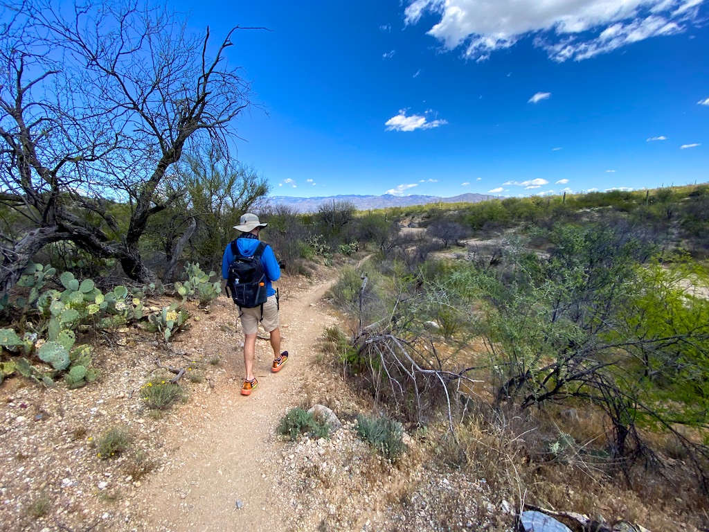
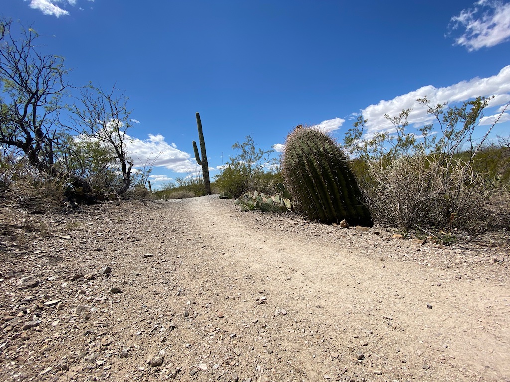
The trail is very well-kept and extremely easy to navigate — you should have no issues and the GPS is not necessary although always recommended.
For the first .7 miles you will steadily head down and then for a short while head back up hill, before beginning your descend once again.
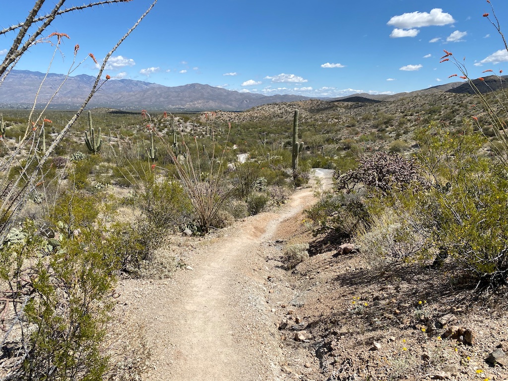
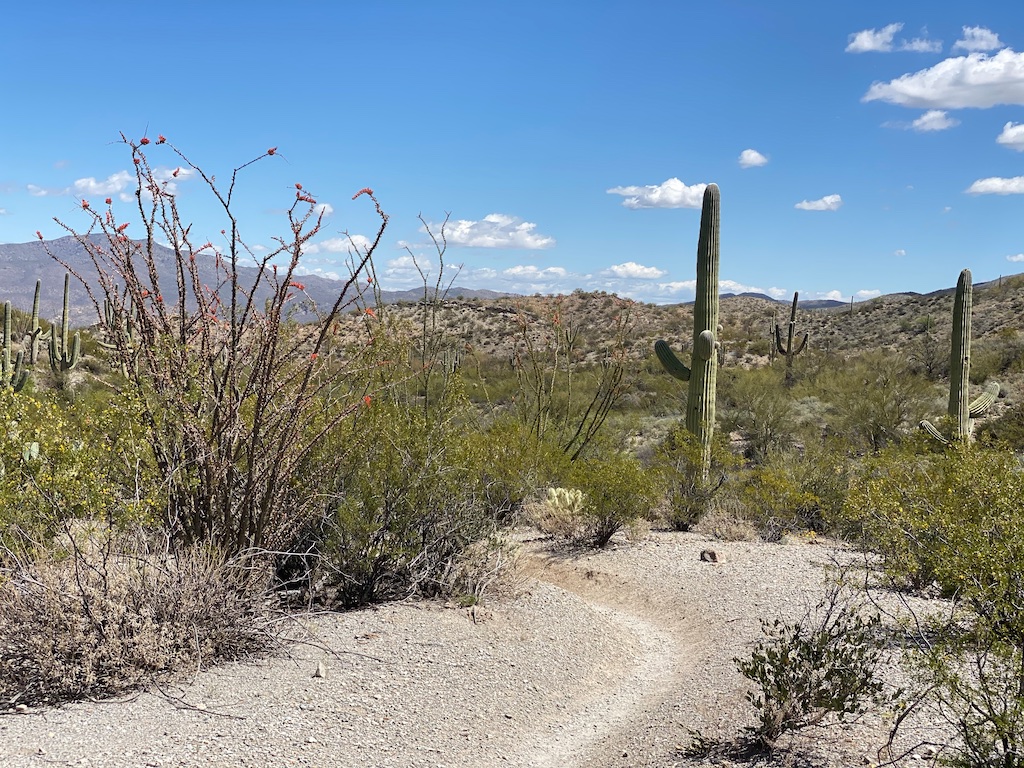
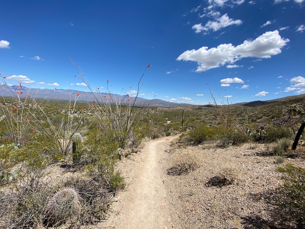
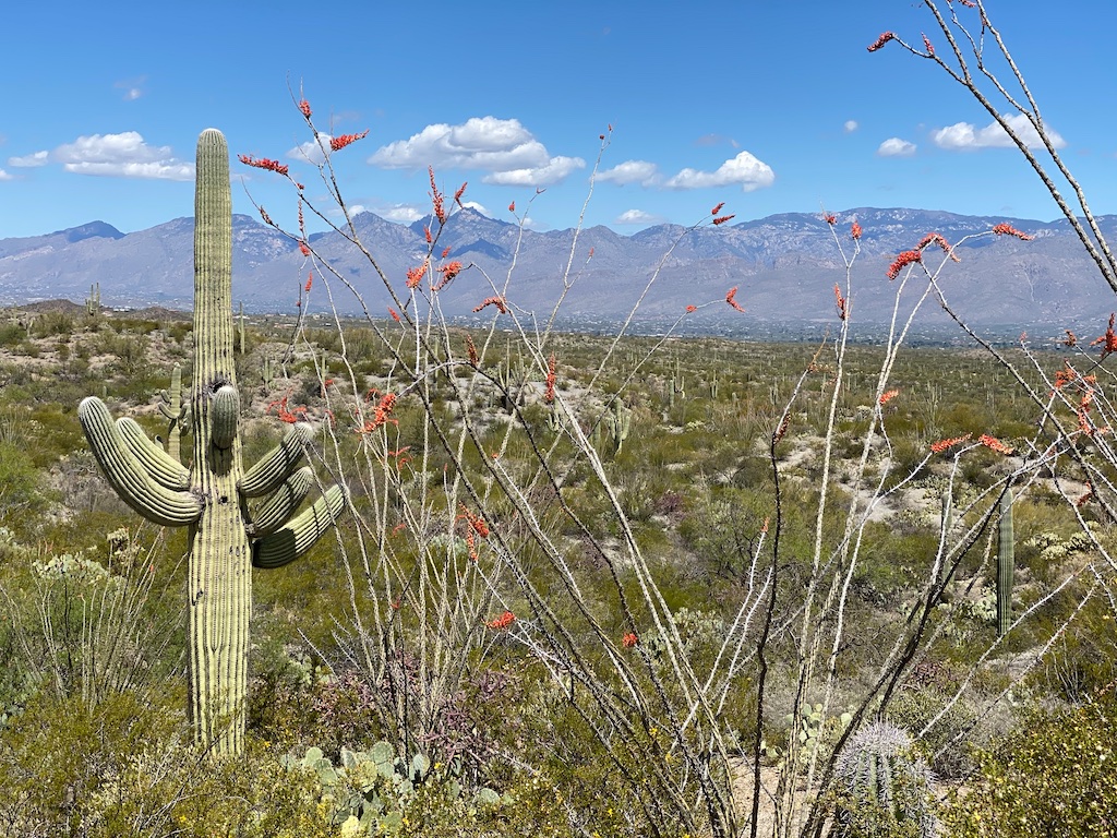
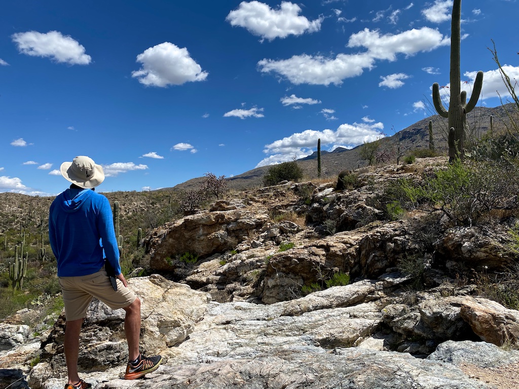
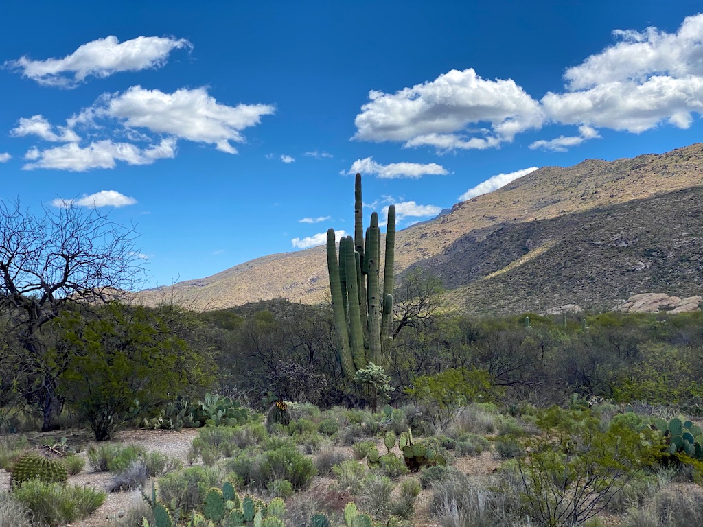
Throughout many stretches of the hike, you will appreciate the views of the Santa Clarita mountains.
This trail is also used by mountain bikers and occasionally the trail gets a tad bit narrow so you need to be on the lookout for bikers coming through and consider stepping aside in those cases. Trail runners may also sneak up on you on this path as well.

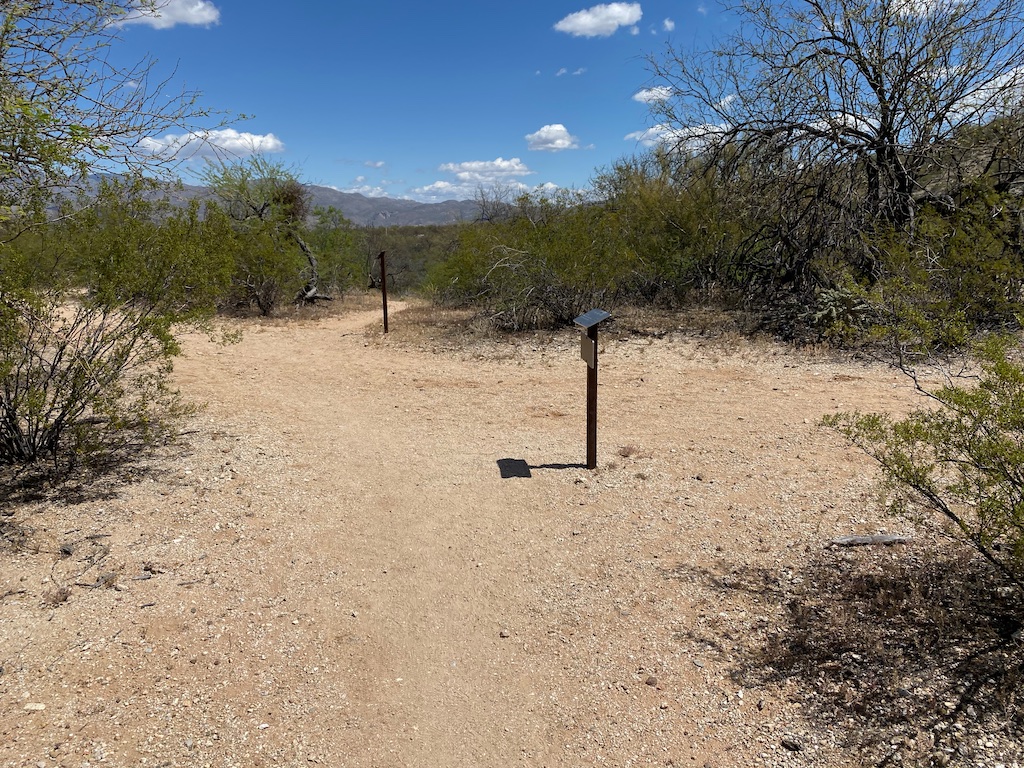
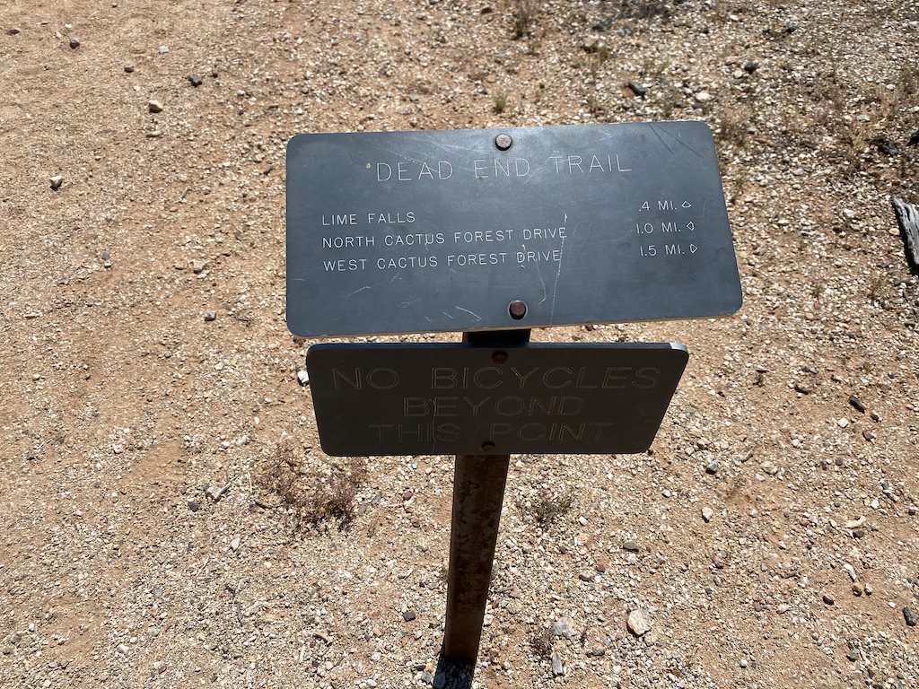
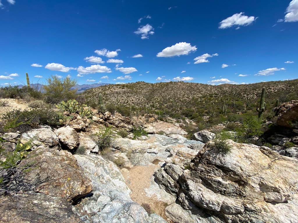
About 1.5 miles into the hike we decided to head south east along the Lime Falls Trail. This spur is clearly marked with a sign post.
You will first head through a pretty thickly forested trail until you are spit out into the middle of a wash that you will follow.
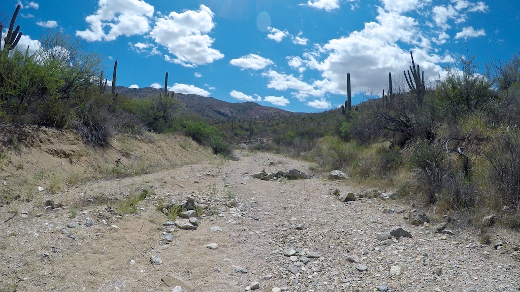
The trail then takes you up along a ridge on the side of the wash up and down a couple of times, presumably to avoid the very rocky wash.
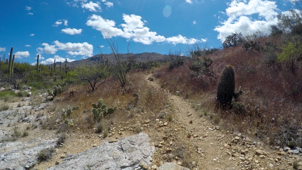
You will then start a pretty steep ascent where the grade jumps up to close to 15% to 20% at times as you head up to the Falls area. It’s nothing too crazy.
Supposedly the falls are best seen right after a rain; otherwise, they will be dry like whenever we visited which was about two days after a decent rain that blew through.
When the falls are dry though, it is still a pretty interesting rocky area to check out and I liked that it offered a different type of terrain to navigate than the Cactus Forest Trail. It also has some pretty sweet views.
Still, had there been running water, I think it would have been a much more interesting spot to check out.
Tip: Use WalletFlo for all your credit card needs. It’s free and will help you optimize your rewards and savings!
Vegetation
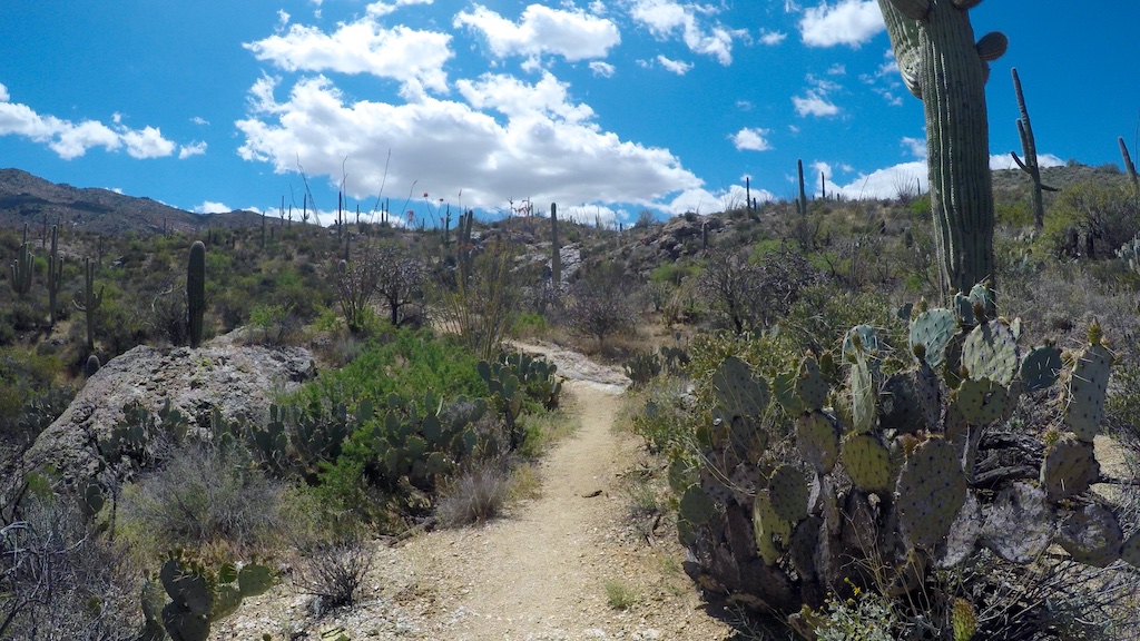
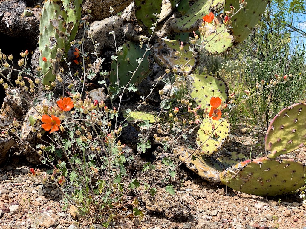
You’ll find all of the common vegetation that is native to Saguaro National Park.
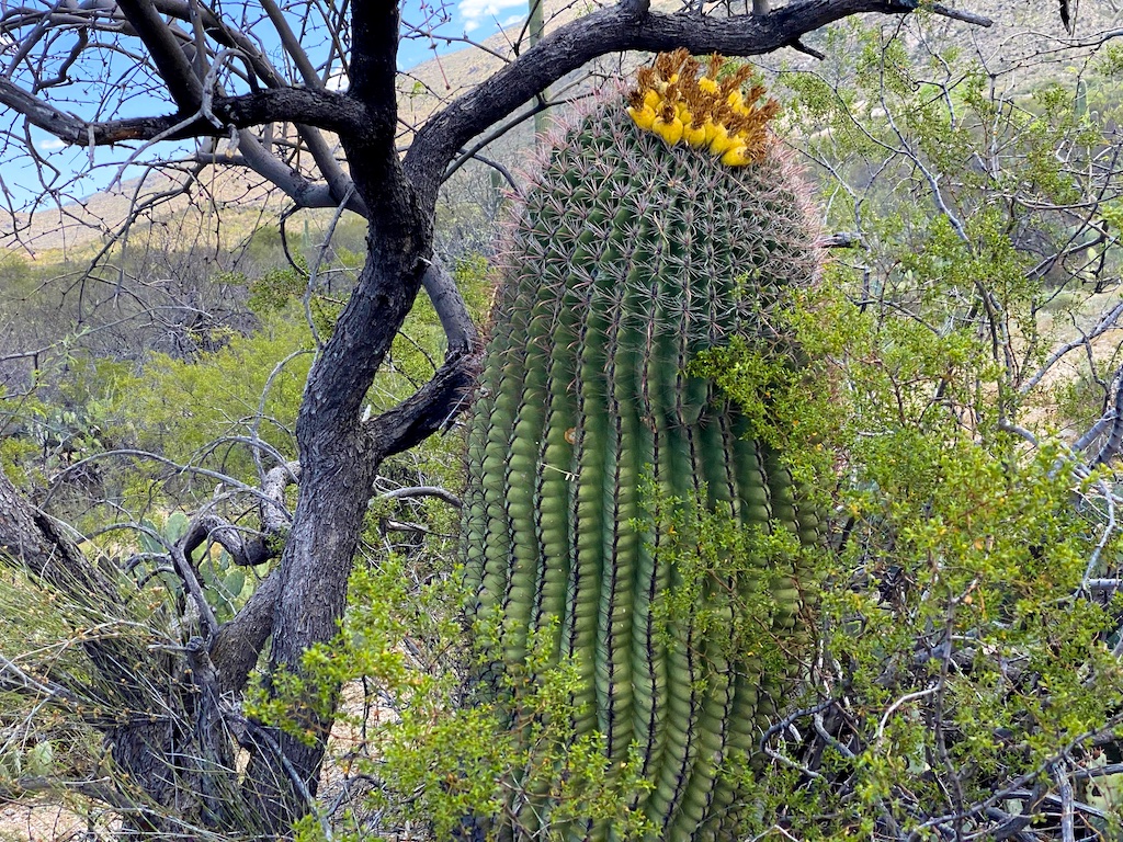
I’ve now done a handful of hikes in the park and I feel like this is a great hike for seeing some large saguaros up close.
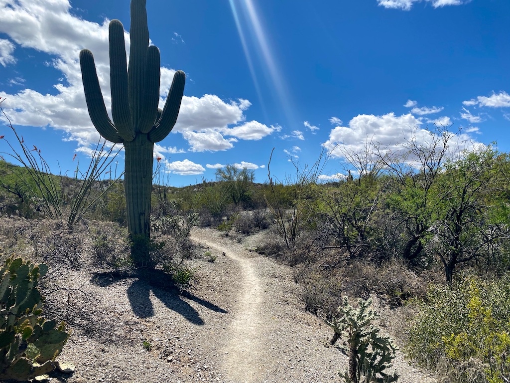
Not only are they large, but they come in a lot of different varieties.
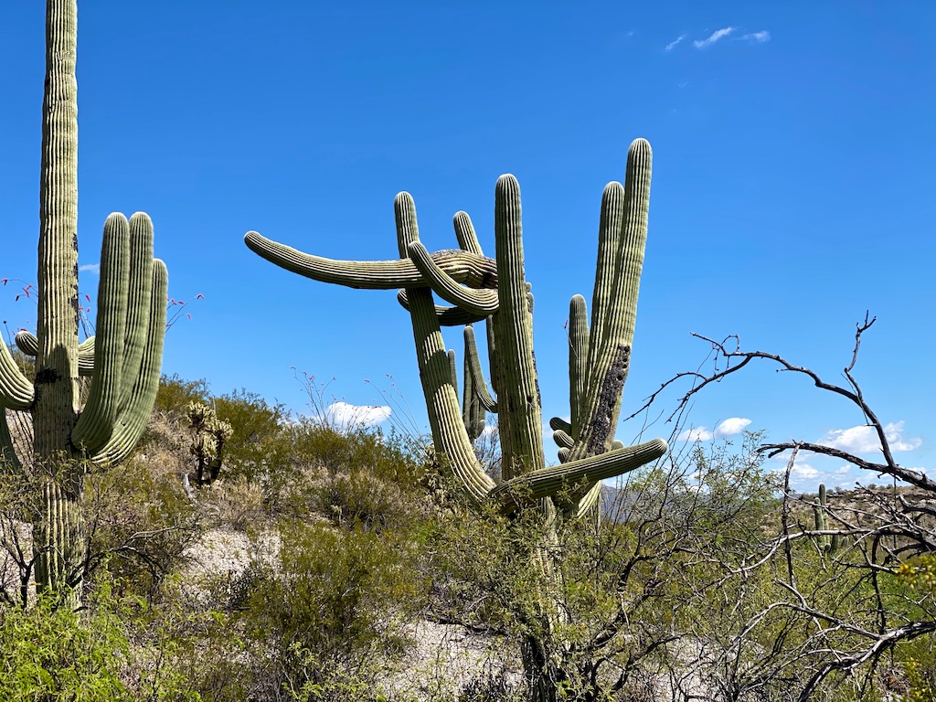
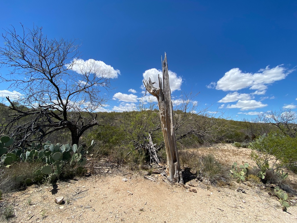
Also, you can get up close to some dead saguaros which always look interesting to me with their woody skeletons.
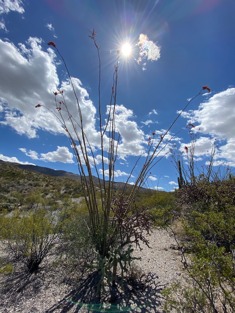
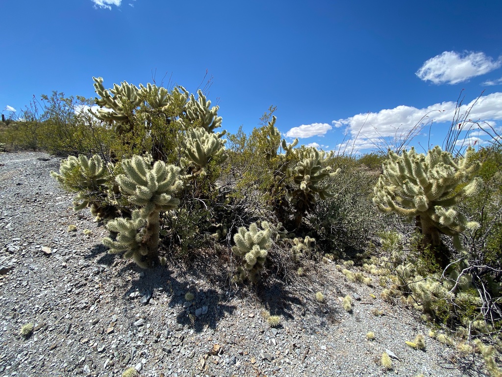
Other cactuses include ocotillo, prickly pear, barrel cactuses, and chollas.
Palo verde trees and mesquite trees are also pretty common.
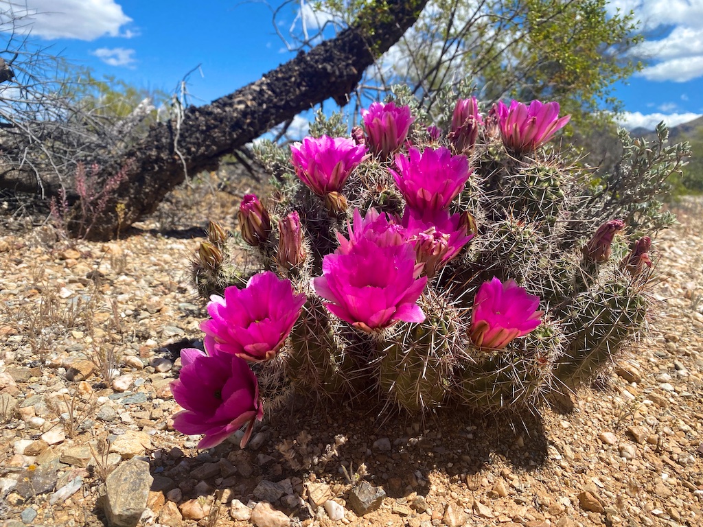
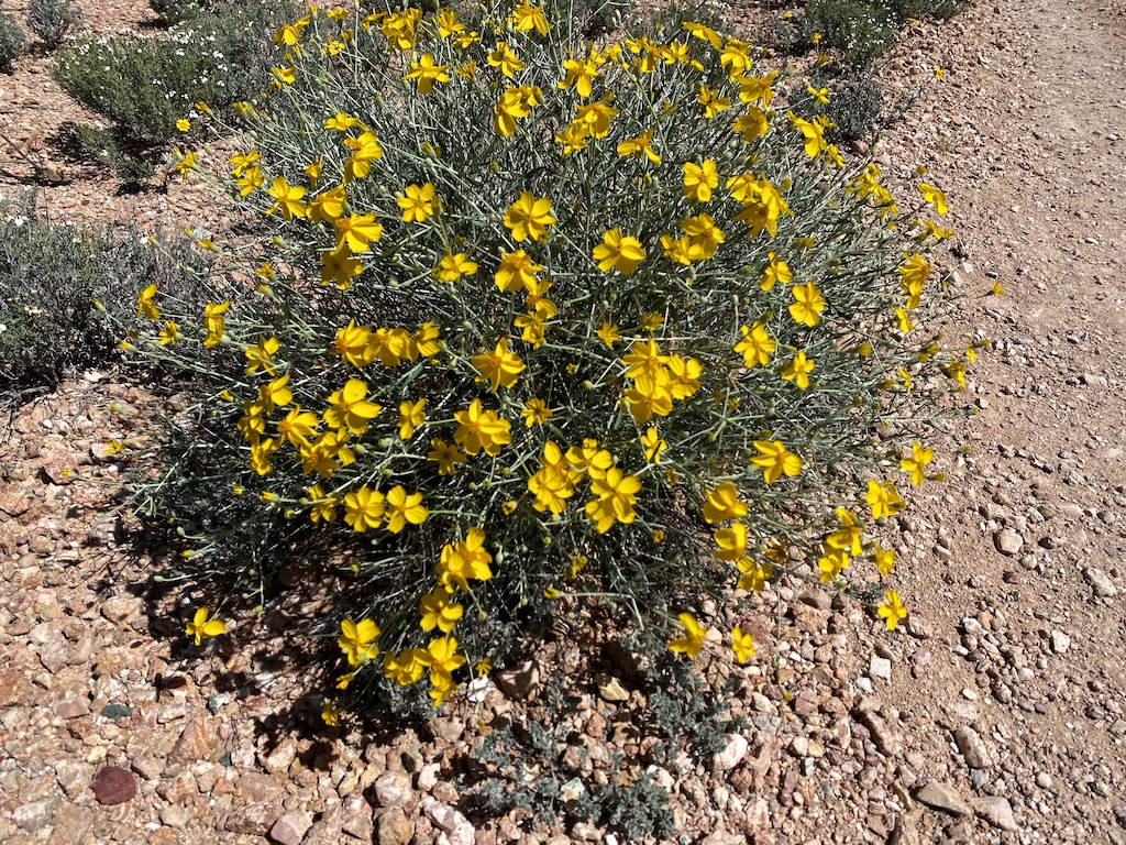
This is a pretty good path for wildflowers as well. We saw a lot of brightly blooming hedgehog cactuses and some others as well.
Wildlife
We did not encounter a ton of wildlife during our hike, but we did see many butterflies fluttering around and also saw about a dozen or so small lizards scurrying about.
Final word
I would highly recommend this hike for someone looking for an easy hike that would be kid friendly and offers great up close encounters with large saguaro cactuses. It wasn’t as good for wildflowers as the more strenuous Tanque Verde Ridge Trail, but I still thought it was very worthwhile.
Daniel Gillaspia is the Founder of UponArriving.com and the credit card app, WalletFlo. He is a former attorney turned travel expert covering destinations along with TSA, airline, and hotel policies. Since 2014, his content has been featured in publications such as National Geographic, Smithsonian Magazine, and CNBC. Read my bio.
